ACTION
PLANThe region team is currently working to implement the recommendations of the Action Plan.
Please follow the instructions in this form to submit a translation request.
DOWNLOAD THE PLAN
Main Body (full plan without appendices)
English: Screen | Print
Español: Digital | Imprimir
Sections
EXECUTIVE SUMMARY
English: Screen | Print
Español: Digital | Imprimir
1.0 ABOUT THIS REPORT and 2.0 HOW DID WE GET HERE?
English: Screen | Print
Español: Digital | Imprimir
3.0 PREFERRED SCENARIO AND RECOMMENDATIONS
English: Screen | Print
Español: Digital | Imprimir
4.0 IMPLEMENTATION PATHWAYS
English: Screen | Print
Español: Digital | Imprimir
5.0 ROADMAP
English: Screen | Print
Español: Digital | Imprimir
6.0 CONCLUSION
English: Screen | Print
Español: Digital | Imprimir
APPENDICES (file type varies)
A. Actions and implementation table, Scenario 0
B. Cost Estimation Approach
C. Funding Sources
D. Scenario Evaluations
E. Policy reviews
F. Other Resilient NENJ reports
G. Summary of Long-Term Control Plans
H. Approach for Resilient Transformation of Contaminated Sites
I. Engagement process
J. Case studies for regionwide coordination
A ROADMAP TO RESILIENCE
A creative set of solutions is needed to address the magnitude of risks that Northeastern NJ faces. The Action Plan recommends a range of types of solutions that complement each other to EASE the risks to people most at risk, PROTECT people and places, and CONNECT people to each other and to resources. Combined, the recommended actions will help the region THRIVE into the future and REGENERATE over time.
The Action Plan divides solutions in multiple ways, as demonstrated below. Click on each category to see the recommended actions it includes.
ACTIONS THAT CHANGE OUR PHYSICAL ENVIRONMENT
ACTIONS THAT CHANGE OUR PHYSICAL ENVIRONMENT & THE WAY WE WORK TOGETHER
ACTIONS THAT CHANGE THE WAY WE WORK TOGETHER
PHYSICAL SOLUTIONS
NON-PHYSICAL SOLUTIONS
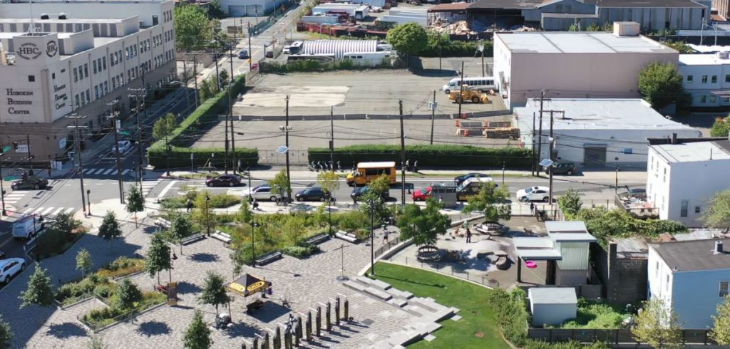
PHYSICAL AND NATURE-BASED SOLUTIONS
Actions that address coastal and tidal flooding
- Add physical flood barriers to ease flooding and protect communities
- Raise existing infrastructure to act as barriers and protect communities
- Integrate flood protection into parks, walkways & boardwalks
- Provide flood protection at the site and building scale
- Take action to restore the coastal environment
Actions that address stormwater flooding
- Separate stormwater to safe, dedicated outfalls
- Direct stormwater to deep storage and conveyance infrastructure
- Improve natural drainage corridors
- Reduce stormwater volume through stormwater management sites
- Reduce impervious surface and improve conveyance through green infrastructure
Actions that address other climate-related and environmental justice needs
- Provide green space and green infrastructure where it can have the most impact
Recommended changes to policies and governance
Actions that improve policy and governance
- Continue and advance regional collaboration
- Increase coordination on infrastructure investments
Actions that address coastal and tidal flooding
- Adopt additional land use policies to reduce flood risk
- Update flood damage prevention ordinances
Actions that address stormwater flooding
- Provide guidance to more quickly integrate stormwater management in open space
- Update stormwater management ordinances
Actions that address other climate-related and environmental justice needs
- Reduce risk from and incorporate resilience into contaminated sites
- Incorporate resilience in new development, public space, and infrastructure
Outreach, education, and capacity building
- Provide a “single source of truth”
- Expand leadership and capacity to manage climate risk
- Conduct a Resilience 101 Campaign
- Increase availability of project-related information on websites
- Improve outreach to and emergency planning for vulnerable and at-risk populations
- Conduct youth engagement
- Leverage community expertise and advance real-time understanding of hazard conditions
- Improve systems for post-disaster recovery funding
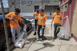
Service and program development
- Create resilience hubs
- Reduce waste impacts
- Increase resident access to resilience-related resources
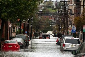
Emergency response and preparedness
- Improve community preparedness through communication and warning systems
- Support scalable response to flood events and other climate emergencies
- Improve availability and access to financial assistance systems for recovery
ACTIONS THAT CHANGE OUR PHYSICAL ENVIRONMENT
PHYSICAL SOLUTIONS
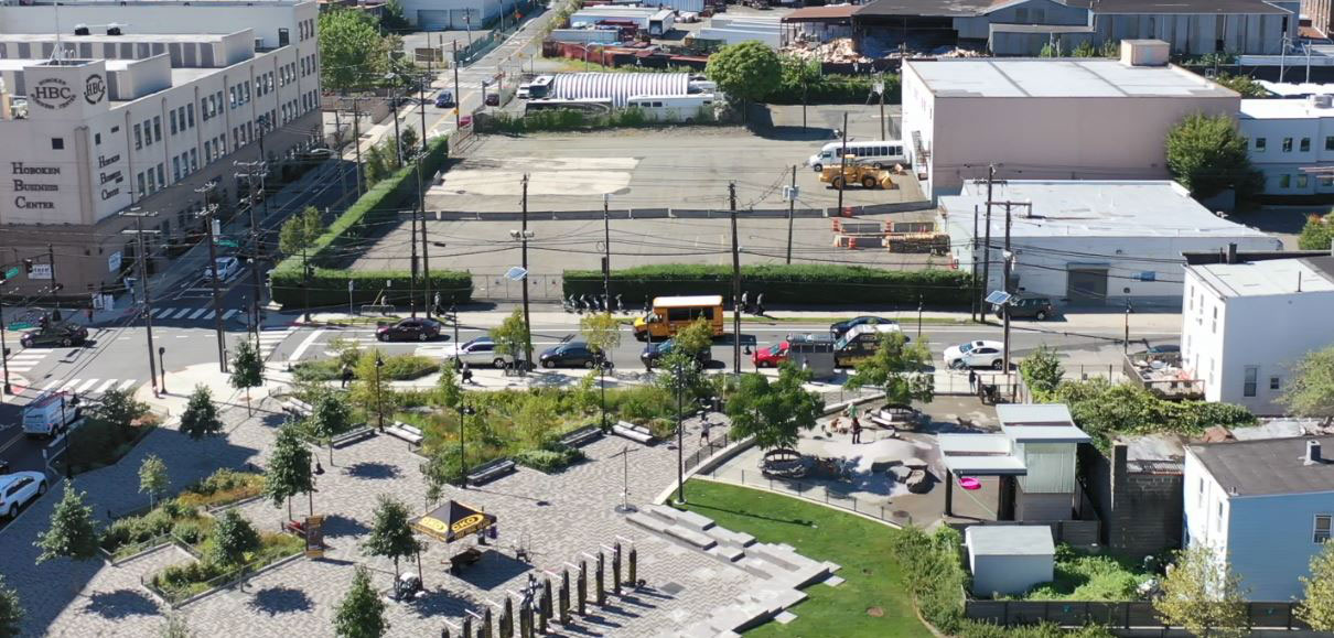
PHYSICAL AND NATURE-BASED SOLUTIONS
Actions that address coastal and tidal flooding
- Add physical flood barriers to ease flooding and protect communities
- Raise existing infrastructure to act as barriers and protect communities
- Integrate flood protection into parks, walkways & boardwalks
- Provide flood protection at the site and building scale
- Take action to restore the coastal environment
Actions that address stormwater flooding
- Separate stormwater to safe, dedicated outfalls
- Direct stormwater to deep storage and conveyance infrastructure
- Improve natural drainage corridors
- Reduce stormwater volume through stormwater management sites
- Reduce impervious surface and improve conveyance through green infrastructure
Actions that address other climate-related and environmental justice needs
- Provide green space and green infrastructure where it can have the most impact
ACTIONS THAT CHANGE OUR PHYSICAL ENVIRONMENT & THE WAY WE WORK TOGETHER
PHYSICAL SOLUTIONS
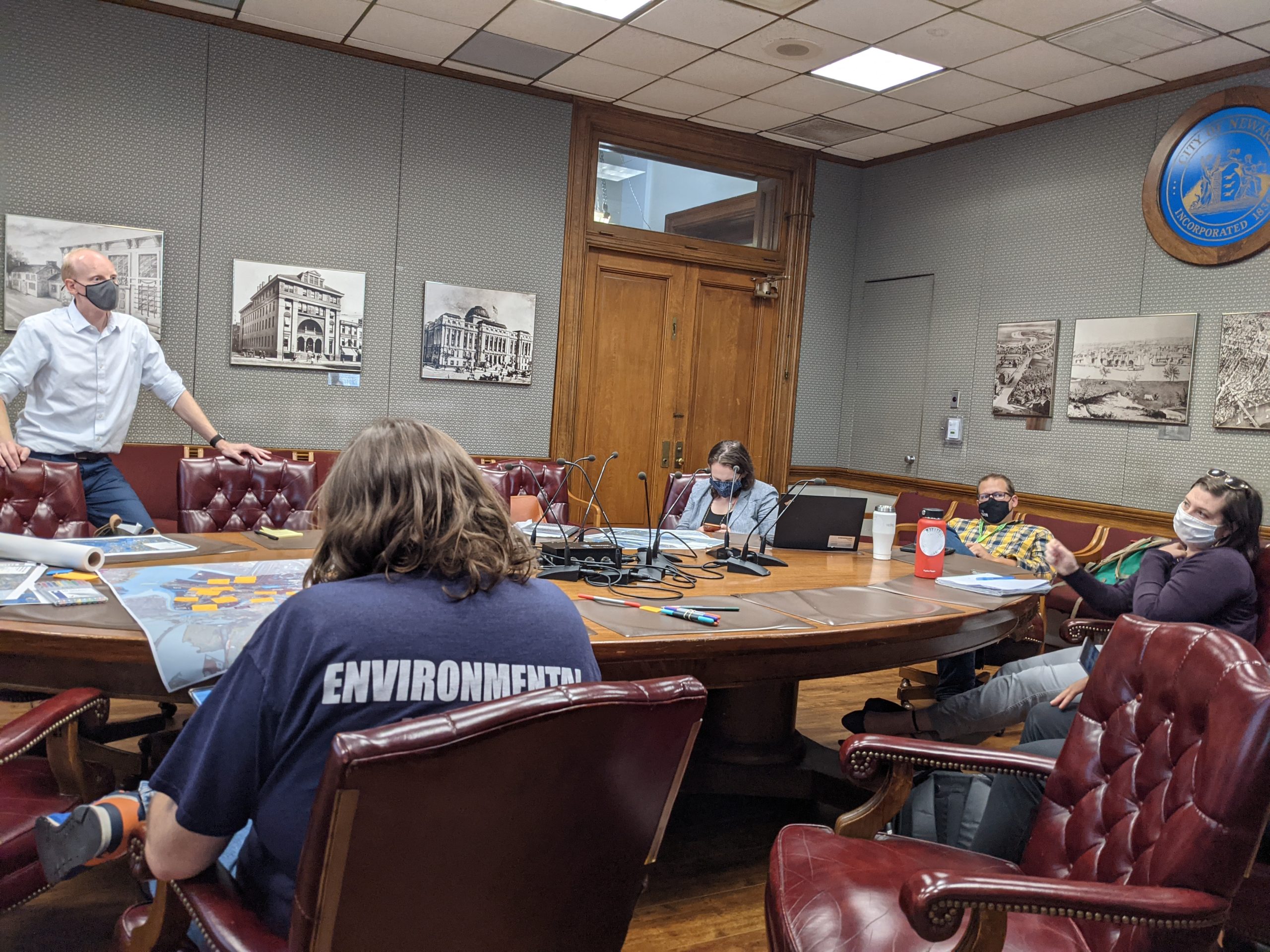
Recommended changes to policies and governance
Actions that improve policy and governance
- Continue and advance regional collaboration
- Increase coordination on infrastructure investments
Actions that address coastal and tidal flooding
- Adopt additional land use policies to reduce flood risk
- Update flood damage prevention ordinances
Actions that address stormwater flooding
- Provide guidance to more quickly integrate stormwater management in open space
- Update stormwater management ordinances
Actions that address other climate-related and environmental justice needs
- Reduce risk from and incorporate resilience into contaminated sites
- Incorporate resilience in new development, public space, and infrastructure
ACTIONS THAT CHANGE THE WAY WE WORK TOGETHER
NON-PHYSICAL SOLUTIONS
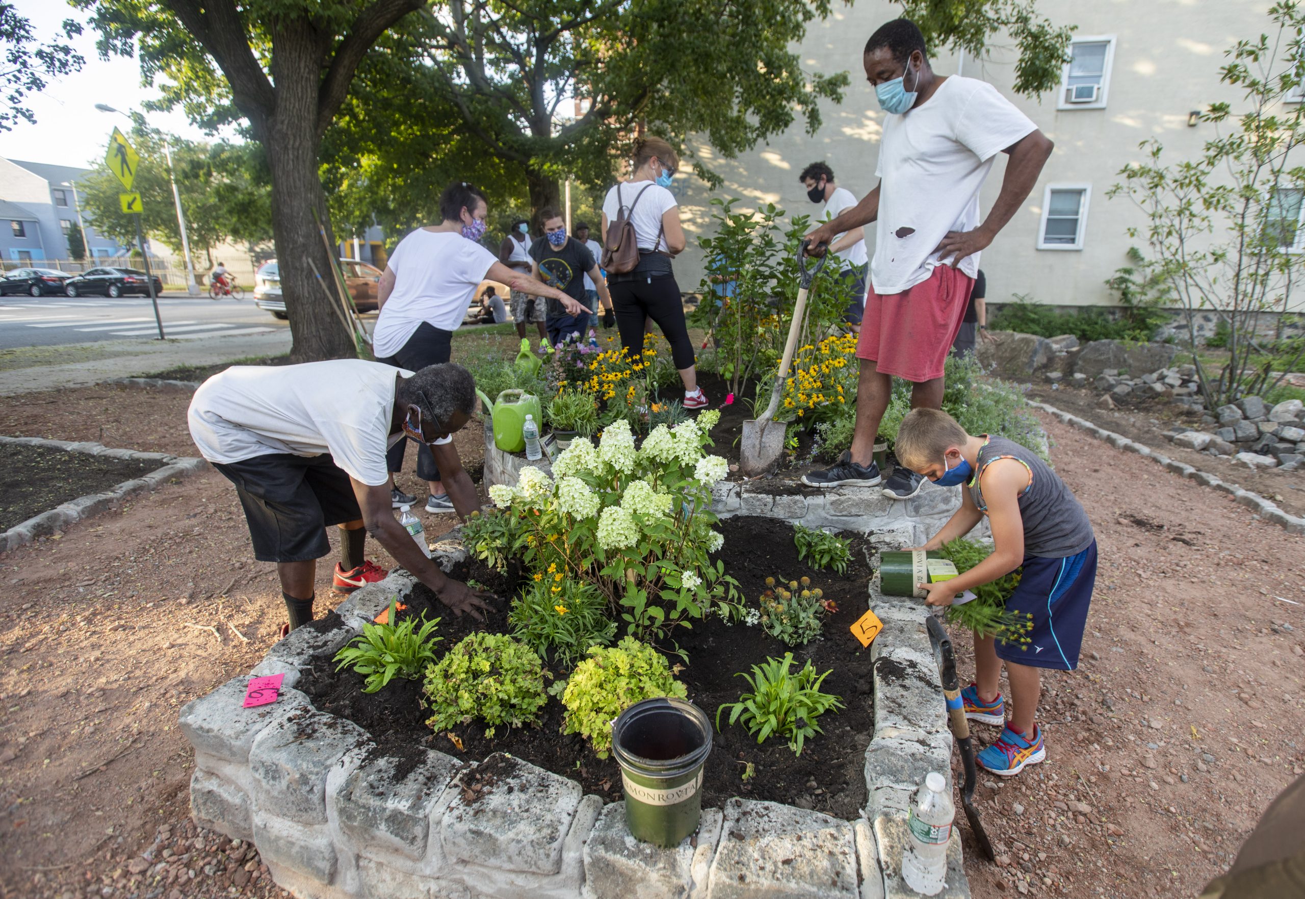
Outreach, education, and capacity building
- Provide a “single source of truth”
- Expand leadership and capacity to manage climate risk
- Conduct a Resilience 101 Campaign
- Increase availability of project-related information on websites
- Improve outreach to and emergency planning for vulnerable and at-risk populations
- Conduct youth engagement
- Leverage community expertise and advance real-time understanding of hazard conditions
- Improve systems for post-disaster recovery funding
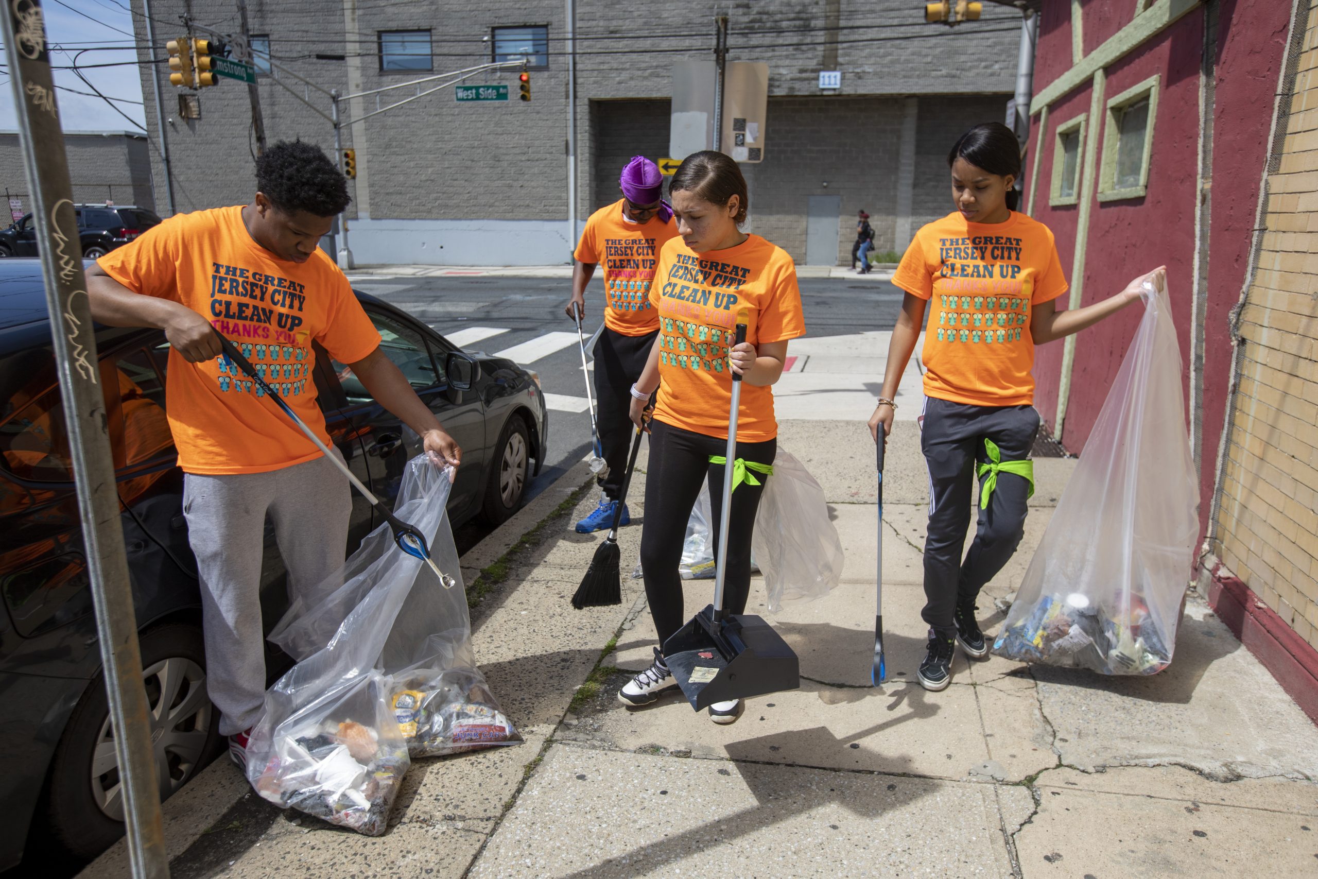
Service and program development
- Create resilience hubs
- Reduce waste impacts
- Increase resident access to resilience-related resources
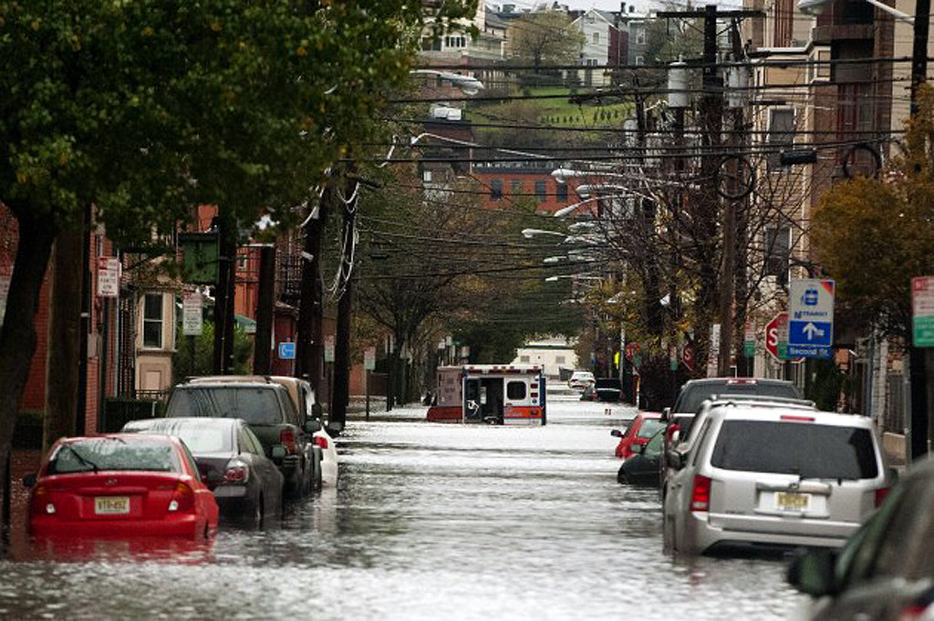
Emergency response and preparedness
- Improve community preparedness through communication and warning systems
- Support scalable response to flood events and other climate emergencies
- Improve availability and access to financial assistance systems for recovery
HOW DOES IMPLEMENTATION UNFOLD?
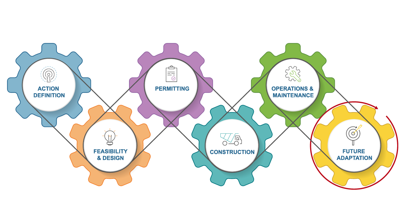
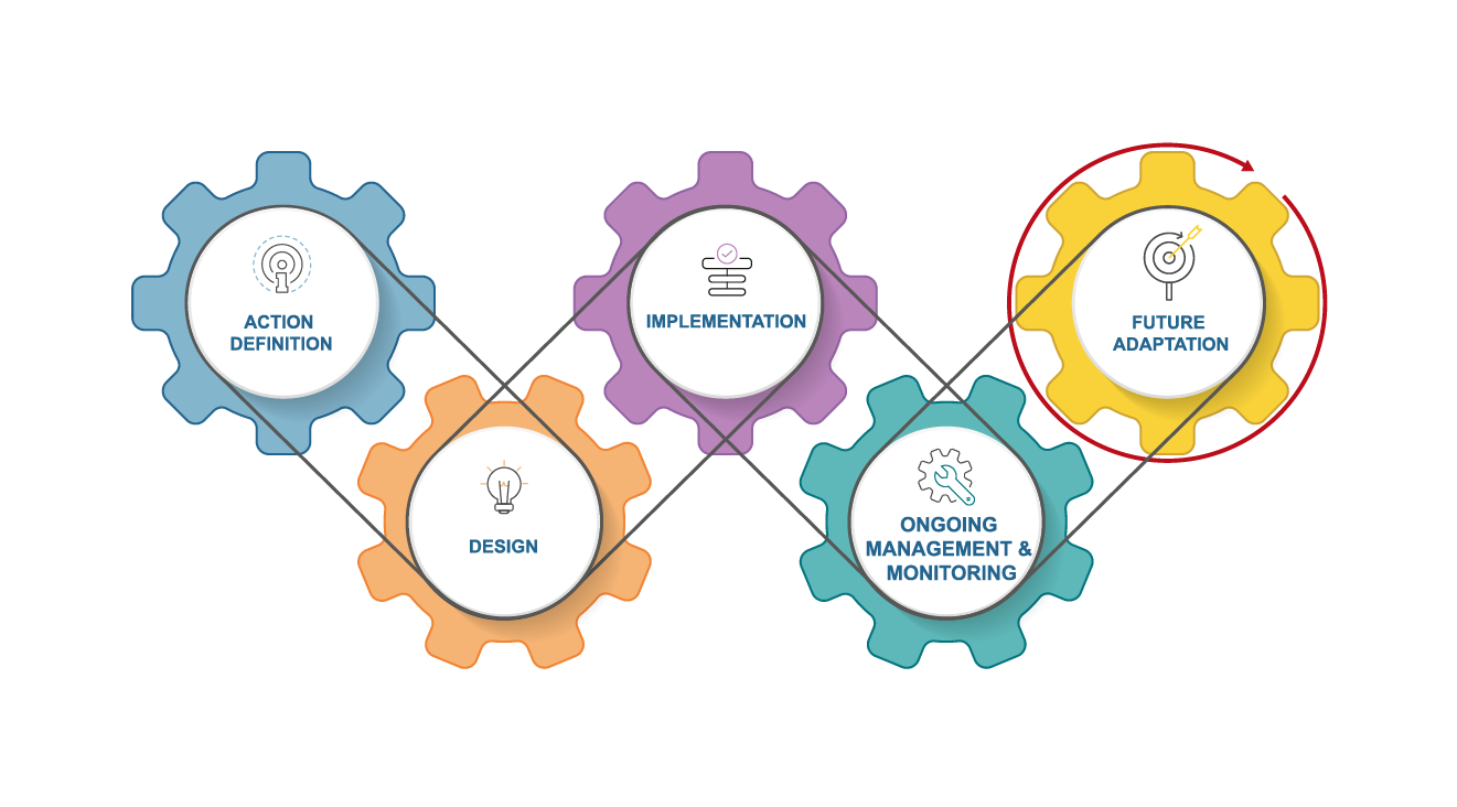
The Action Plan reaches the Action Definition stage of project or program development in many cases. Next steps to advance recommendations at the Action Definition stage include feasibility studies and design for capital projects and program or policy development or design for non-capital actions. Some recommendations in the Action Plan are further along in the implementation process, including several engagement initiatives and capital projects. Progress through Fall of 2022 is documented in the Action Plan. Keep engaged for updates on implementation progress.
WHO WILL IMPLEMENT THE PLAN?
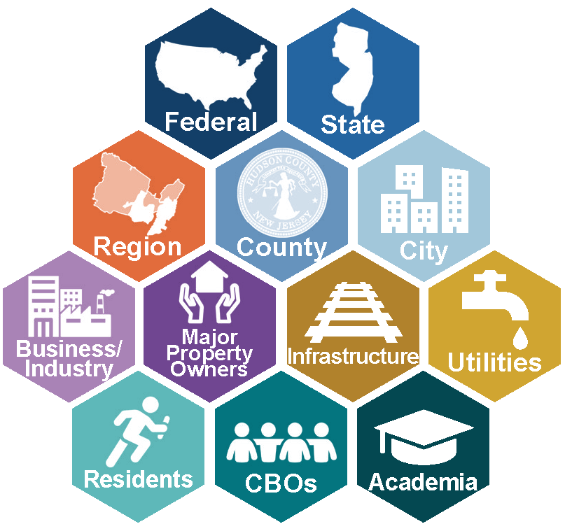
Building community resilience is a team effort.
Leadership, support, and coordination are needed at all scales, from both the public and private sectors. The Action Plan identifies preliminary lead entities for recommendations and opportunities to improve collaboration. It also proposes strategies to improve resources and capacity so that people have the tools needed to take action.
HOW DID WE GET HERE?
Below is a look at the program’s timeline for development of the Action Plan. Click to the left to see examples of past or ongoing resilience efforts in the Northeastern NJ region that helped pave the way to Resilient Northeastern NJ. See more on these efforts in the Action Plan.
The Action Plan reflects input and priorities from across the region. Learn more about the engagement process on the Get Involved page.

Get Involved
Your input and involvement are critical to increasing the resilience of our communities. Opportunities to engage with the program will be updated periodically on the Get Involved page.
STAY IN THE LOOP
Sign up for periodic emails to stay up to date on program process.
EXPLORE OUR RESOURCE LIBRARY
The Resource Library contains our project reports, anytime and youth engagement materials, and other information about progress.

